Tesla Builds Proprietary Maps for Autonomy
The automaker is developing an internal mapping system to address persistent errors in its Full Self-Driving software, marking a significant departure from its previous technical philosophy.
By Xiaoyu Wang ·
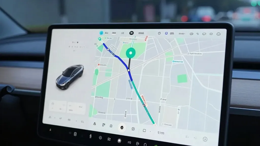
Tesla’s long-standing rejection of detailed cartography has given way to a new strategy focused on building its own proprietary maps. On the company’s third-quarter 2026 earnings call, executives confirmed that this internal mapping effort is designed to correct frequent errors in its Full Self-Driving (FSD) system, specifically regarding speed limit recognition, parking maneuvers, and route selection.
This development represents a significant pivot for the company. For years, Tesla’s leadership argued that reliance on maps introduced fragility into autonomous driving systems. The new approach signals that Tesla’s fleet is now performing a function similar to that of Waymo, using vehicle data to map roads and compensate for limitations in the vision-based software.
The decision follows a specific inquiry from a retail investor during the shareholder Q&A session. The investor noted that mapping remained a persistent issue for FSD, citing speed limits, parking, and typical routes as the primary pain points. They questioned why the company continued to rely on third-party data sources rather than developing its own solution.
Ashok Elluswamy, Tesla’s VP of AI, responded by agreeing that the company should not depend on external map providers. He explained that Tesla is constructing a new AI-based mapping and navigation architecture. This system will be fed by collective data from the vehicle fleet and is designed to learn individual driver preferences while also responding to voice commands.
The rollout of this technology is staged. Elluswamy stated that the initial phase, launching with FSD version 15, will focus on the beginning and end of trips. Over the following months, the system will expand to handle navigation, parking, and destination processing more broadly.
Tesla’s relationship with mapping has been inconsistent historically. When Autopilot launched in 2015, the company told Fortune it was building high-precision maps with significantly greater granularity than standard navigation, using data from customer vehicles. However, by 2019, CEO Elon Musk had reversed course. At Autonomy Day, he described high-precision lane maps as a "huge mistake" and a "really bad idea" that made systems "extremely brittle." This was the same presentation where he dismissed lidar as a "fool’s errand," arguing that cameras and AI were sufficient for driving anywhere.
Seven years later, the strategy has shifted back toward map-based assistance. While Tesla has always used standard navigation maps, the new initiative addresses specific environmental understanding failures. Recent data highlights these struggles: a Belgian road safety group found FSD vehicles exceeding speed limits in 55% of 30 km/h zones in Brussels, often because the interface displayed an incorrect 50 km/h limit. In the United States, the NHTSA is weighing an investigation into claims that Tesla Robotaxis speed through active school zones, involving approximately 1,000 Model Y and Cybercab vehicles.
This new architecture brings Tesla’s operational model closer to that of its competitors. Waymo maps cities using sensor-equipped vehicles before launching service and keeps those maps updated through ongoing fleet data. Tesla is now describing a similar process, where cars collect environmental data to feed a central map that improves driving for all vehicles. The primary technical difference remains that Waymo’s vehicles utilize lidar, whereas Tesla relies on its fleet-built data without that specific sensor.
Source: Electrek